Check out our All Alaska FHP story map and our Southeast Alaska For the Fish story map for more interactive information.
Southeast Alaska and Alexander Archipelago
Southeast Alaska
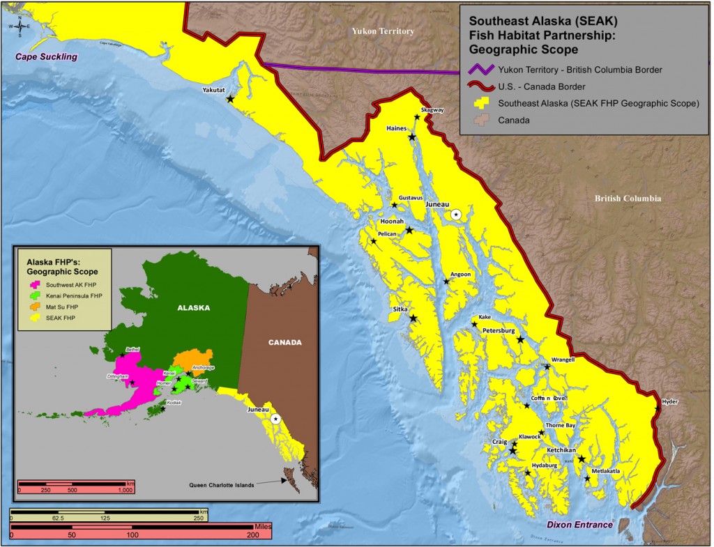
The geographic range of the Southeast Alaska Fish Habitat Partnership extends from Cape Suckling north of Yakutat to Dixon Entrance at the southern end of Prince of Wales Island, a distance of about 525 miles consisting mostly of a narrow 120 mile strip of land and mountains on the mainland and over a thousand islands – collectively known as the Alexander Archipelago.
This region, as defined by our boundaries, encompasses nearly 45,000 square miles, including nearly 12,000 square miles of marine waters, and a shoreline length in excess of 16,000 miles. Freshwater habitats abound in the area, including over 20,000 freshwater lakes and ponds covering nearly 400 square miles in area, and countless streams and rivers in excess of 35,000 miles of fluvial habitat. The region is defined by rainforests, glacial fjords, myriad rivers and streams, estuaries, mountains, and glaciers and ranks as one of the largest, most complex, and intact estuarine and temperate rainforest systems on earth.
For more in depth ecological information for Southeast Alaska check out the Southeast Alaska Ecological Atlas.
Land Ownership
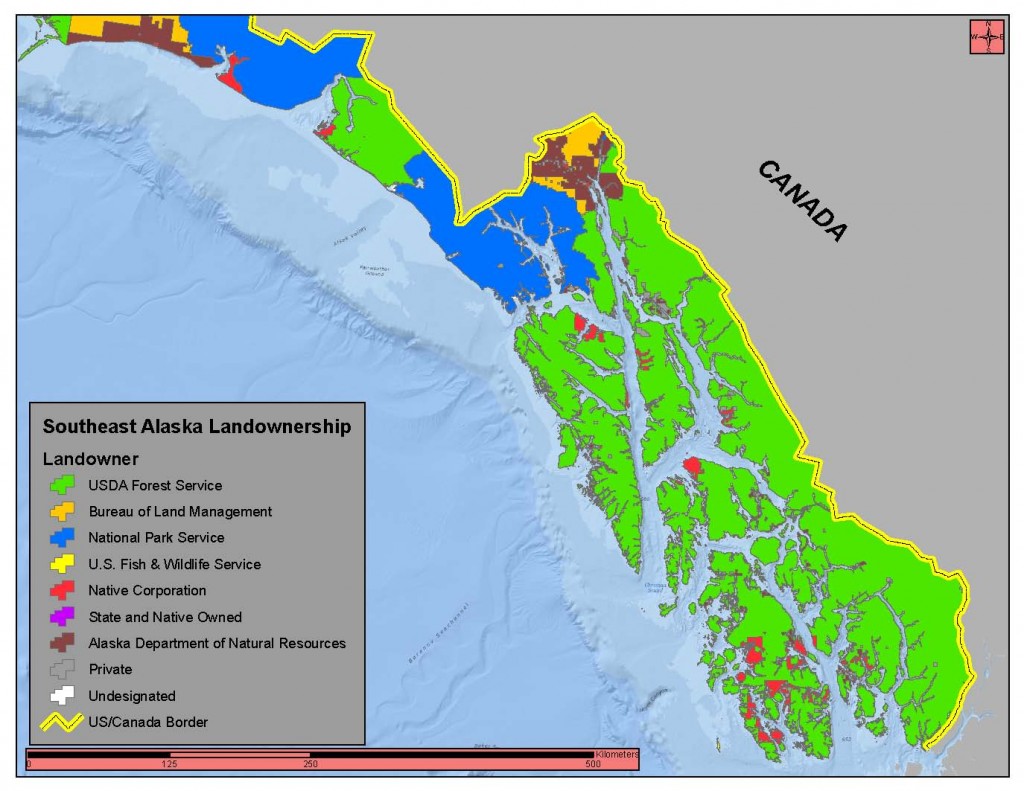
In total, about 90 percent of Southeast Alaska is federally owned land. The Tongass National Forest at 16.8 million acres encompasses nearly 80 percent of the land area of the region and Glacier Bay National Park and Preserve covers about 2.7 million acres or another 12.5 percent of the region. Lands managed by the State of Alaska include the Haines State Forest at 534,000 acres and other smaller holdings distributed throughout the region, as well as most all navigable waters and tidelands throughout the Alexander Archipelago and extending out to 3 miles off the coast. Alaska Native Corporations own about 577,000 acres of land in the region.
Coastal Communities of Southeast Alaska
The estuaries and nearshore marine waters provide the foundation of cultural and economic activities in Southeast Alaska. There are 32 communities in Southeast with populations ranging from 24 in Point Baker to over 30,000 in Juneau for a total population of about 73,000 people, most of which are located on or close to the shoreline of marine waters. The diverse coastal environments around the Southeast region help define the unique qualities of these communities. However, the relatively steep and rocky topography of the region and abundant streams often create conflict with development because some of the most productive habitats are often preferred sites for housing, businesses, and transportation infrastructure. Thus, Southeast’s coastal communities must balance their economic dependence on healthy watersheds and marine ecosystems with their need for coastal development. This offers an unprecedented opportunity for the Partnership to work closely with communities to protect, restore, and enhance freshwater and nearshore habitats.
Fisheries
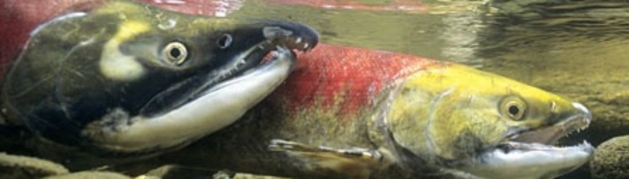
All over Alaska it’s impossible to imagine life here without salmon and other fish that truly drive a way of life. Fish support many vibrant economic engines in Southeast Alaska including a robust and diverse commercial fishing industry, a world class sport fishing industry as well as many centuries old subsistence life style. No group of species is more important to sustaining Alaska’s vibrant subsistence culture and economy than salmon.